Carson Falls on the north side of Mount Tamalpais is at its best after the winter rains with good flow through early spring. The walk is fairly strenuous, but worth the trip on a sunny day. The stream feeding the falls flows through a meadow at the top, then down a rocky canyon into three pools.

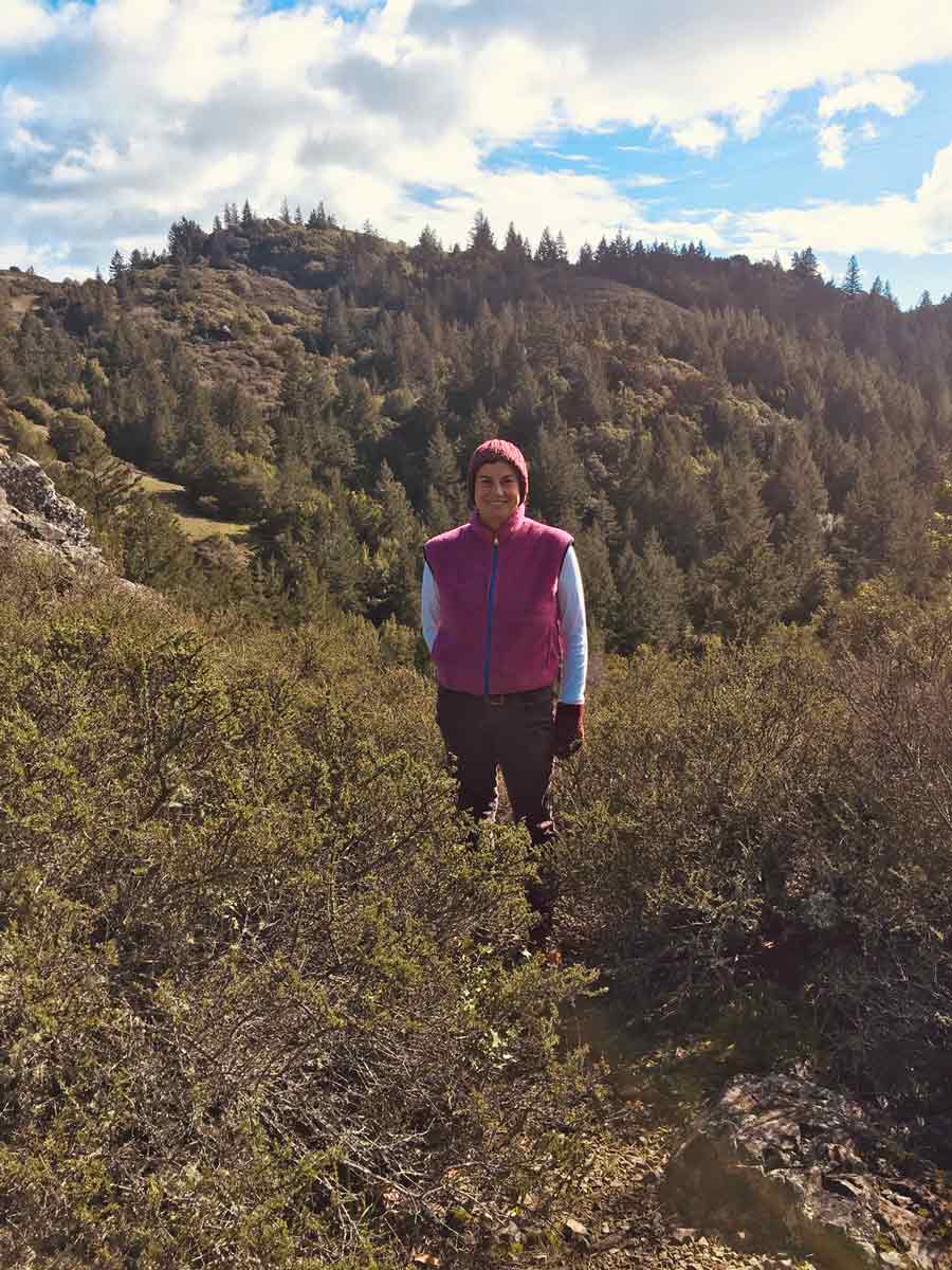
Madeline at the top of the falls

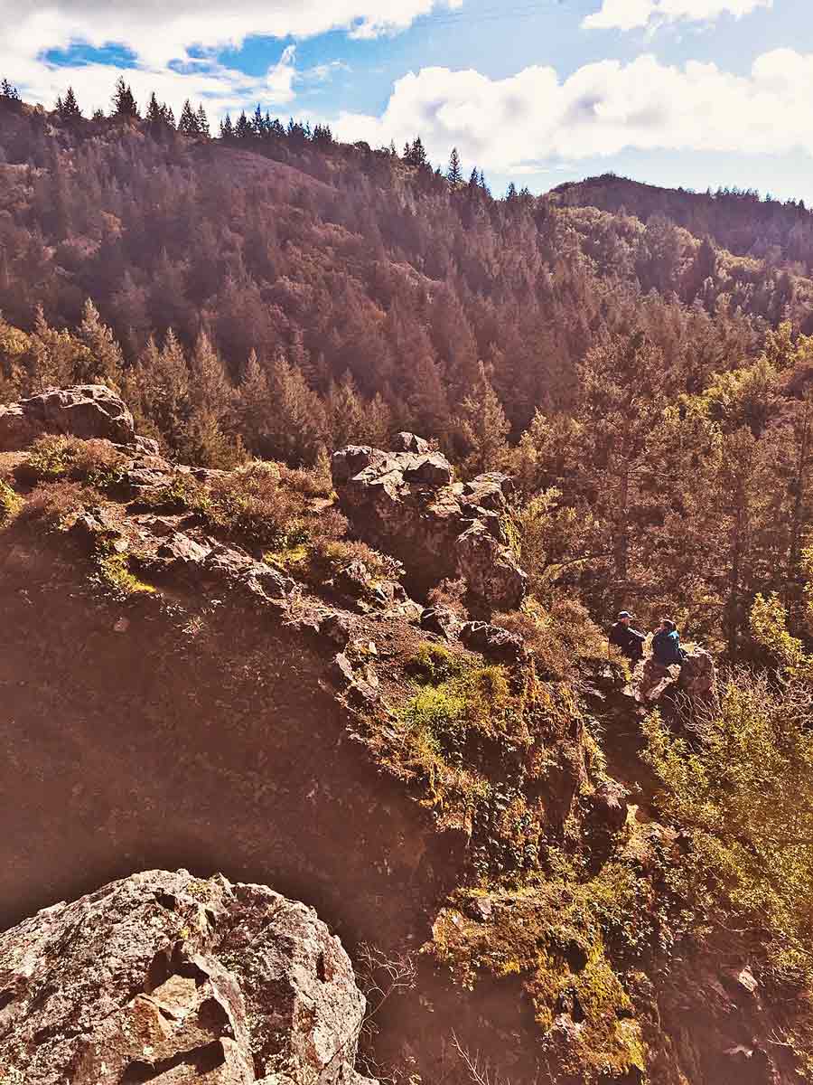
A picnic spot overlooking the falls
Finding Carson Falls
From downtown Fairfax, take the Bolinas-Fairfax Road past the Meadow Golf Club, and up to the top of the next hill. There will be a parking area on the left and a trail head (to the Old Sled Trail) on the right.

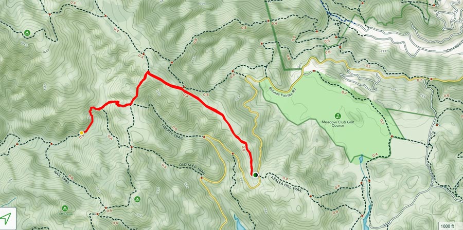
Bolinas-Fairfax road in yellow. Carson Falls Trail in red.
Take the fire road from the trail head for about 06 miles. You will see a utility line on poles along the road. Follow the line as it crosses the road to the left. You will see the Carson Falls Trail marker on the right. The trail descends for about 1.1 miles through a wooded area and levels out at a meadow at the top of the falls. The trail may be muddy, so wear appropriate shoes.
MMWD Watershed
Carson Falls is part of the Marin Municipal Water District watershed on Mount Tamalpais. This land includes many creeks and four man-made lakes that are storage reservoirs for fresh drinking water. From Carson Falls, you can see part of Kent Lake, the largest in this watershed. The watershed joins to Mount Tamalpais State Park, The Golden Gate Recreational Area, Samuel P. Taylor State Park, and many other smaller land preserves.


